

Scientists Remapped The Deepest Point On Earth. Their Answer Came With A Catch
Mount Everest stands at 29,031.69 feet above sea level, making it the highest point on our planet. We know this thanks to decades of precise surveys using traditional and advanced methods, like trigonometry and radar. After all, Everest may be tall, but it's not inaccessible — recently, a helicopter was able to land on its peak. However, mapping the deepest point in the ocean is a lot trickier; you can't just fly over it with a helicopter. That being said, scientists are confident that they've found the deepest point on Earth at "Challenger Deep," an area in the Mariana Trench that sinks even deeper than its rival, the Tonga Trench. Thanks to a 2026 study from Tokyo, Japan, we now know that point has a maximum depth of 35,850 feet — though the estimate comes with a surprisingly high degree of uncertainty.
Even after employing advanced sonar equipment and computing to process the data, the team was only able to bring their certainty to within a margin of error of nearly 60 feet. Their data was dependent upon computer models that accounted for differences in the ocean's saltwater content. Because sonar uses sound waves to calculate distance, these models had to compensate for the different speeds of sound as it pulsed through deeper and denser saltwater. But these densities vary considerably through the 6-mile-plus depths. The result is a potential margin of error of 59.05 feet in either direction.
The uncertainty may not seem like a lot, especially compared to the scale of the terrifyingly vast ocean depths below the surveyors' feet. But considering the research team used the most advanced technology for such a survey to date, it begs the question: Do we really have our planet mapped as well as we think we do? Apparently not.
How to calculate the deepest point in a vast ocean
Just as the world's highest point, the peak of Mt. Everest, is measured by its perpendicular distance from the spherical plane of the ocean's average height, so too is the world's deepest point measured. The only difference is that scientists must look down, not up, and obtain their measurement through the medium of a liquid, not a gas. The most accurate tool for the job is sonar.
The earliest attempt to measure the Mariana Trench's deepest point was by the HMS Challenger I in 1875. But they didn't have sonar. Instead, they dropped a really long hemp rope with a weight on its end, and calculated a depth of around 26,850 feet. Generations later, in the 1950s, the HMS Challenger II used advanced sonar to report an updated number of 35,640 feet. This was more accurate, but differences in salinity through miles of ocean water can give inaccurate readings when using sonar, as well as instruments that rely on the Doppler Effect, a cool physics rule you hear pretty often. Today, we can use computer processing to account for these inaccuracies.
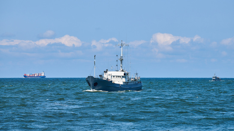
The 2026 Japanese survey of the Mariana Trench reports a maximum depth of 35,850 feet and a margin of error of 60 feet. Ultimately, they still relied on sonar. The team equipped ships with sonar technology called echosounders and sent them in vast grid pathways to map the ocean floor below. The researchers then processed this data with computer models to account for differences in the water's salinity, called "seawater sound velocity models." It's the most advanced surveying tech to date, and it still comes with a margin of error roughly the height of a 6-story apartment building. If you think our modern tech has completely mapped our planet, think again.